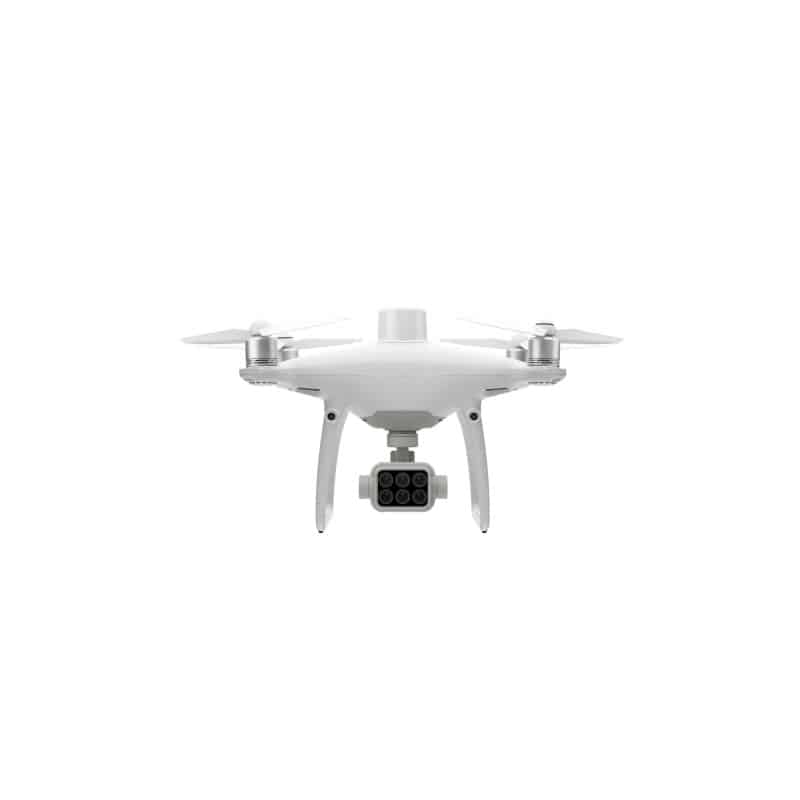
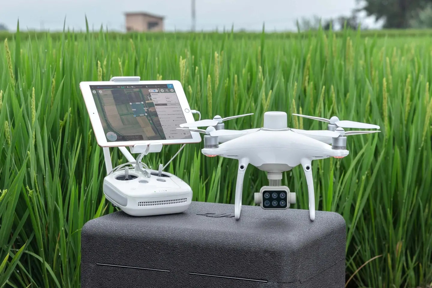
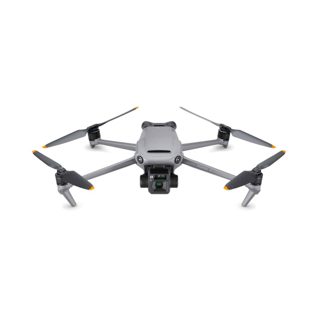
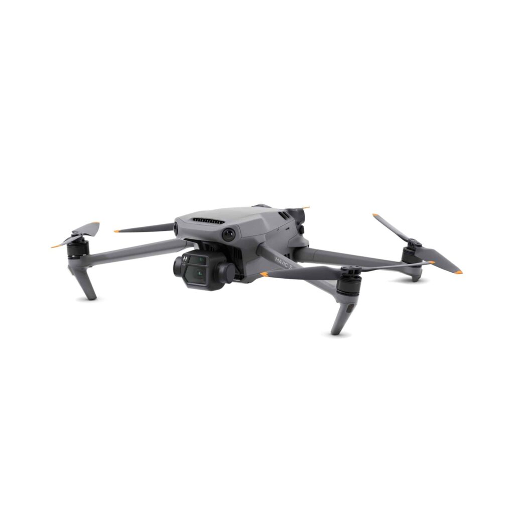
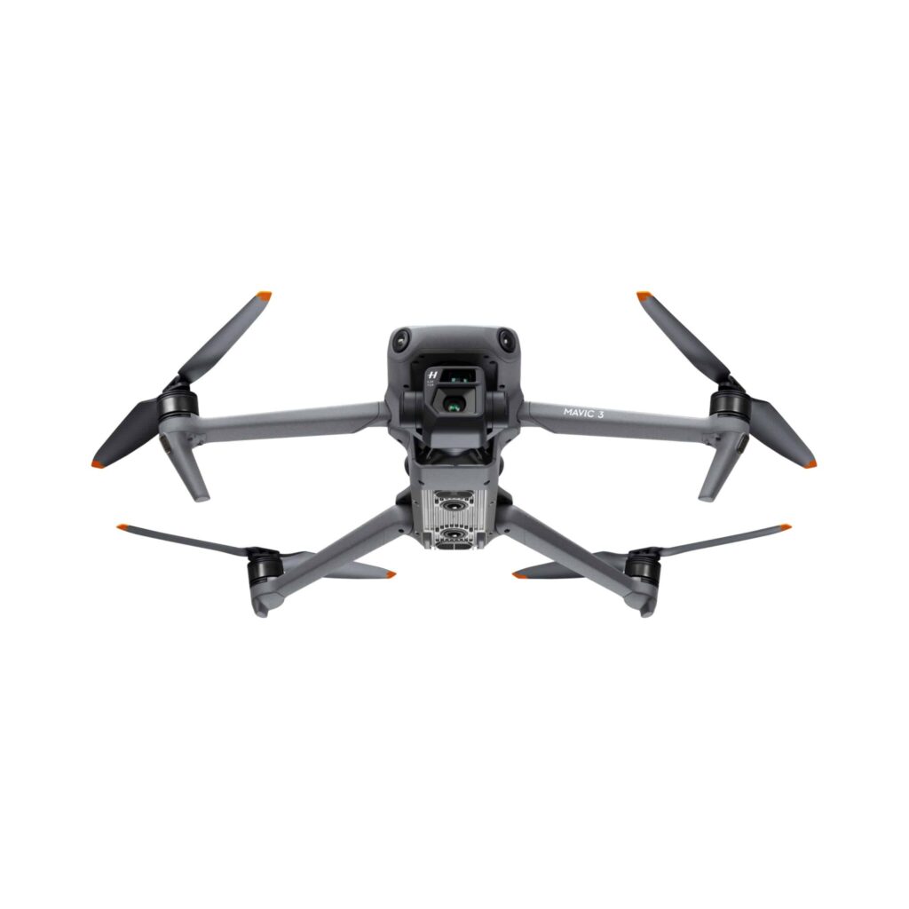
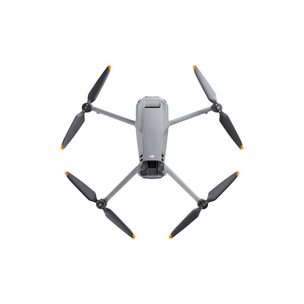
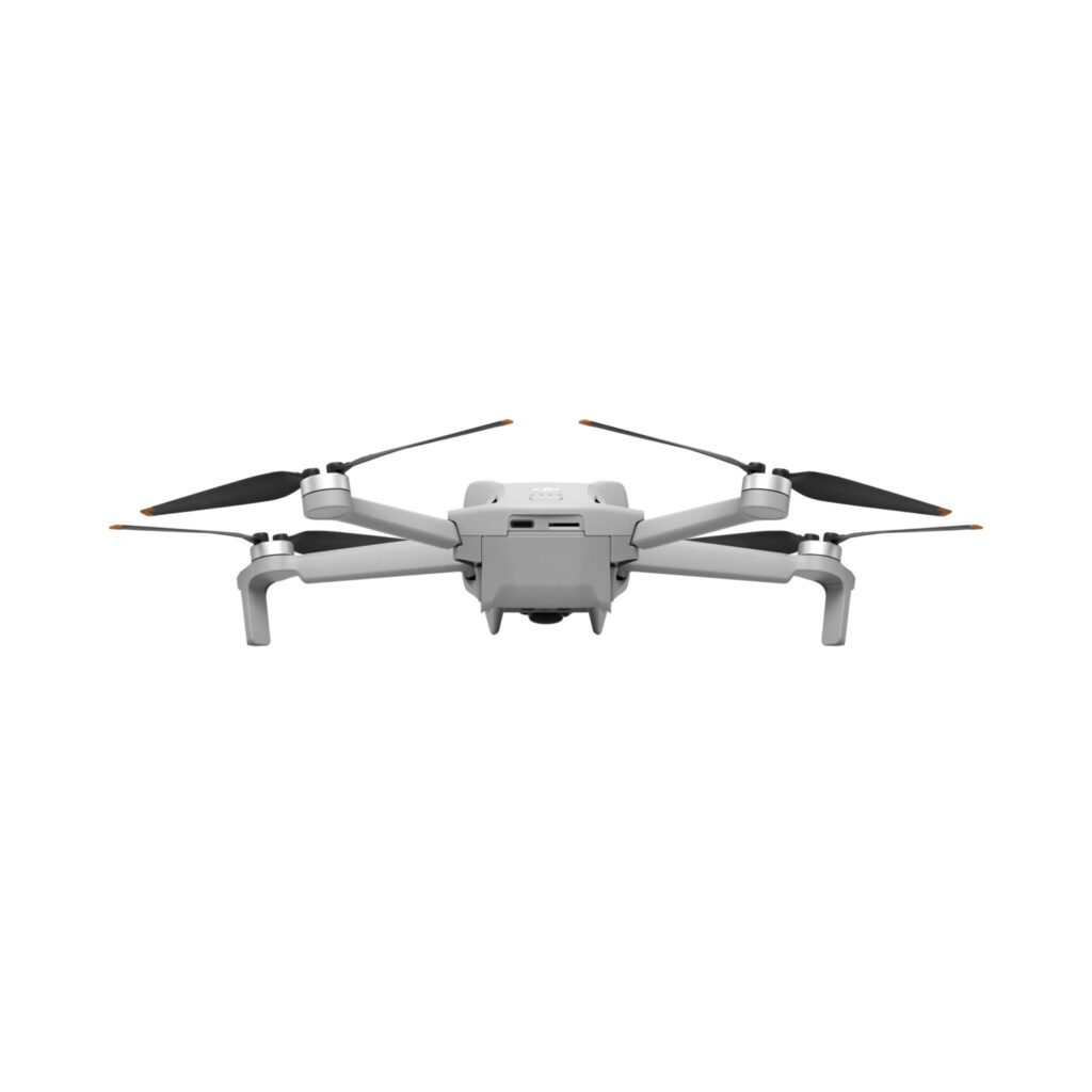
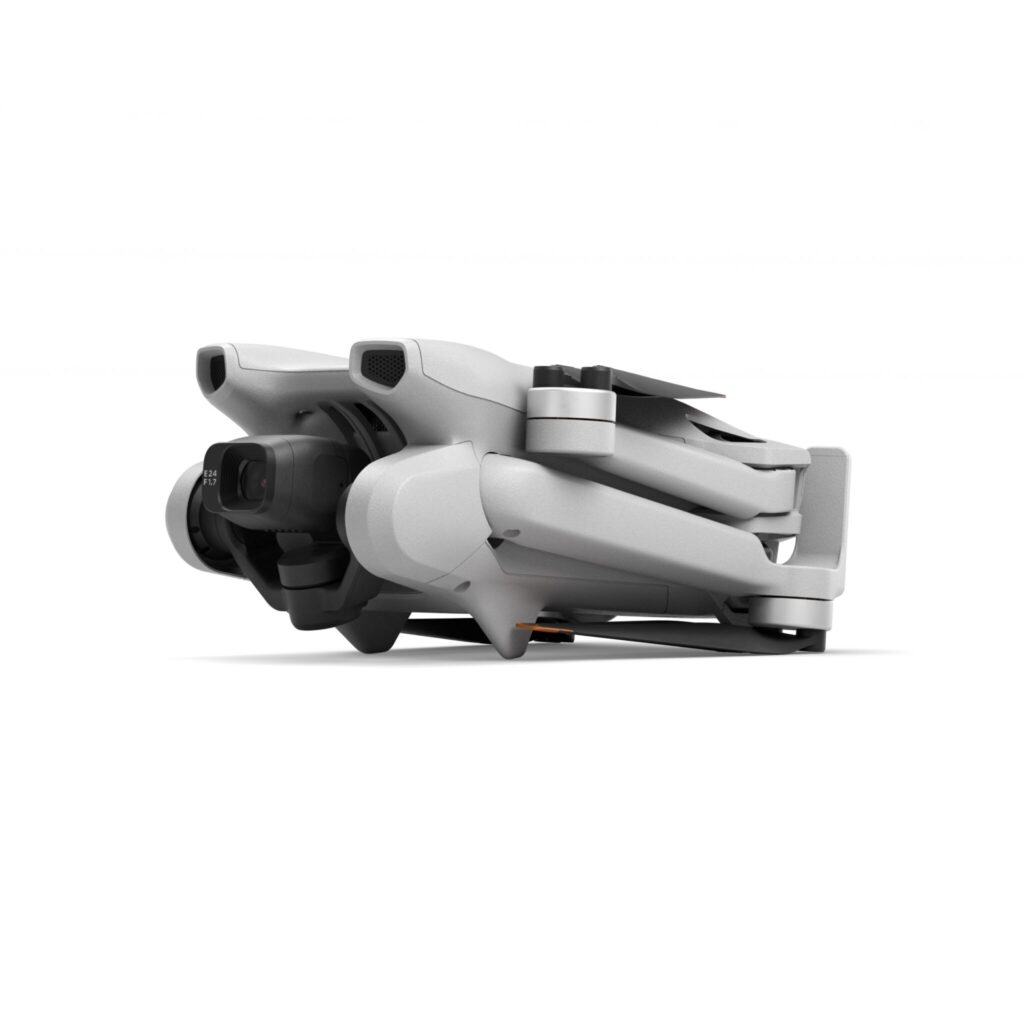
DJI Phantom 4 Multispectral
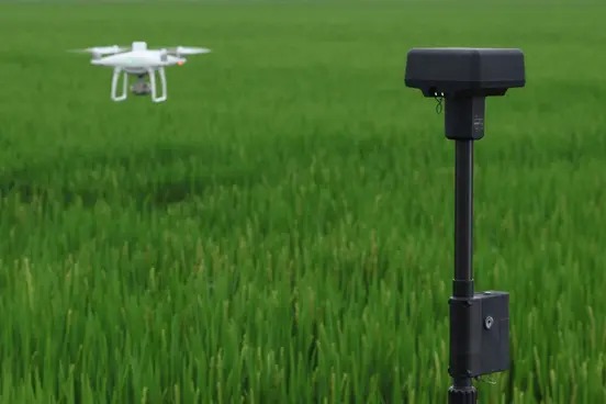
The DJI Phantom 4 Multispectral (P4M) drone is a compact multispectral aerial photography tool. You can use it in agriculture, forestry and other areas where multispectral imaging is required.
Description

Phantom 4 Multispectral
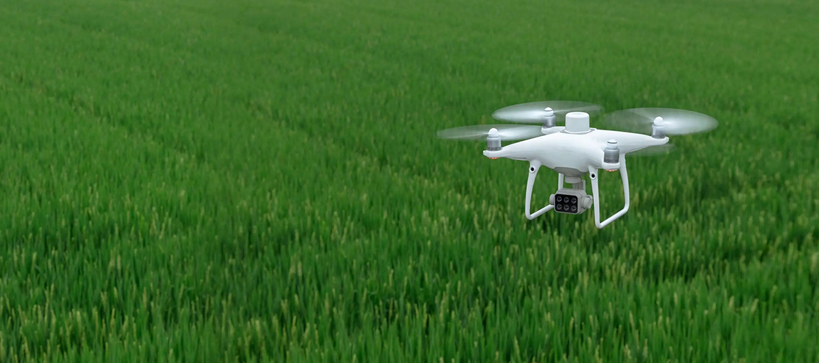
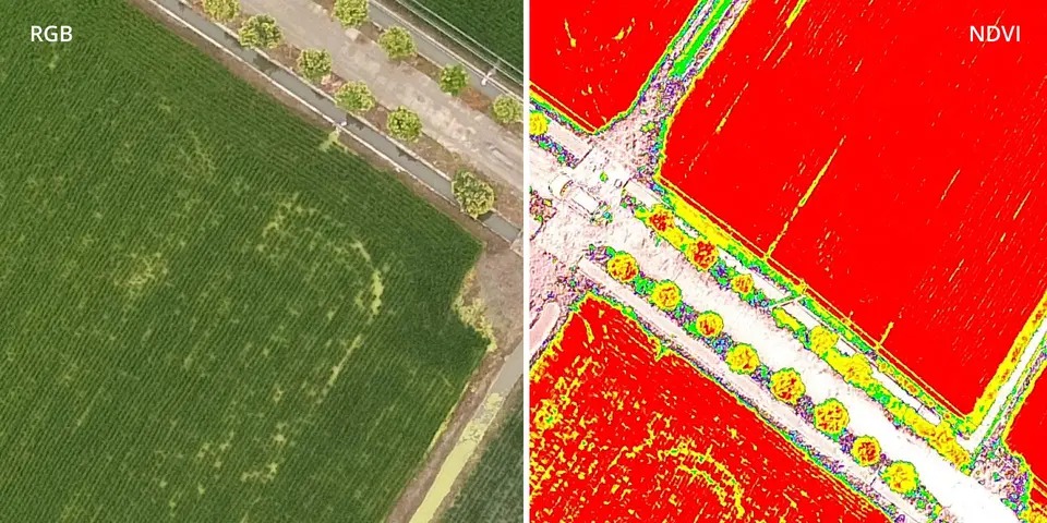
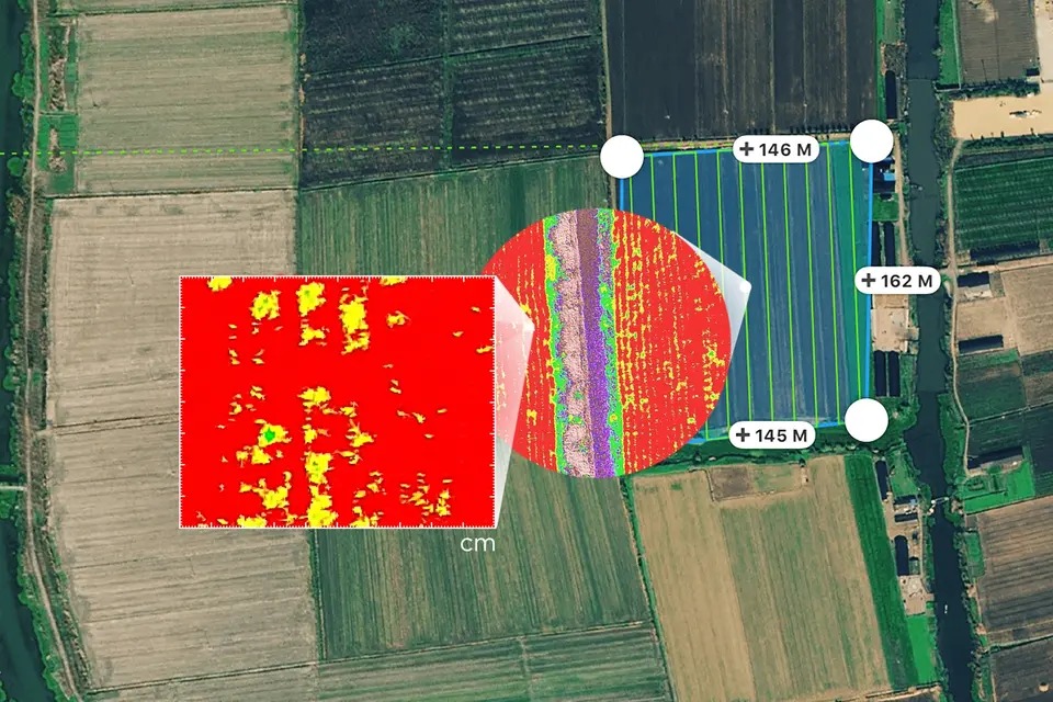
Plant Intelligence for Targeted Action
Gather precise plant-level data using the P4 Multispectral – a high-precision drone with a seamlessly integrated multispectral imaging system built for agriculture missions, environmental monitoring, and more.
Phantom 4 Multispectral


Additional information
| Takeoff Weight | 1487 g |
|---|---|
| Diagonal Distance (Propellers Excluded) | 350 mm |
| Max Service Ceiling Above Sea Level | 19685 ft (6000 m) |
| Max Ascent Speed | 6 m/s (automatic flight); 5 m/s (manual control) |
| Max Descent Speed | 3 m/s |
| Max Flight Time | Approx. 27 minutes |
| Hovering Accuracy Range | RTK enabled and functioning properly: Vertical: ± 0.1 m; Horizontal: ± 0.1 m RTK disabled: Vertical: ± 0.1 m (with vision positioning); ± 0.5 m (with GNSS positioning) Horizontal: ± 0.3 m (with vision positioning); ± 1.5 m (with GNSS positioning) |
| Image Position Compensation | The relative positions of the centers of the six cameras’ CMOS and the phase center of the onboard D-RTK antenna have been calibrated and are recorded in the EXIF data of each image. |
| Single-Frequency High-Sensitivity GNSS | GPS + BeiDou + Galileo (Asia); GPS + GLONASS + Galileo (other regions) |
| Multi-Frequency Multi-System High-Precision RTK GNSS | Frequency Used GPS: L1/L2; GLONASS: L1/L2; BeiDou: B1/B2; Galileo[2]: E1/E5 First-Fixed Time: < 50 s Positioning Accuracy: Vertical 1.5 cm + 1 ppm (RMS); Horizontal 1 cm + 1 ppm (RMS). 1 ppm indicates error with a 1 mm increase over 1 km of movement. Velocity Accuracy: 0.03 m/s |
| Ground Sample Distance (GSD) | (H/18.9) cm/pixel, H indicates the aircraft altitude relative to the area mapped (unit: m) |
| Rate of Data Collection | Max operating area of approx. 0.63 km2 for a single flight at an altitude of 180 m, i.e., GSD is approx. 9.52 cm/pixel, with a forward overlap rate of 80% and a side overlap ratio of 60%, during a flight that drains the battery from 100% to 30%. |
| Controllable Range | Tilt: -90° to +30° |
| Max Speed | ≤ 31 mph (50 kph) at 6.6 ft (2 m) above ground with adequate lighting |
| Max Altitude | 0–10 m |
| Operating Range | 0–10 m |
| Obstacle Sensing Range | 0,7–30 m |
| Operating Environment | Surfaces with clear patterns and adequate lighting > 15 lux |
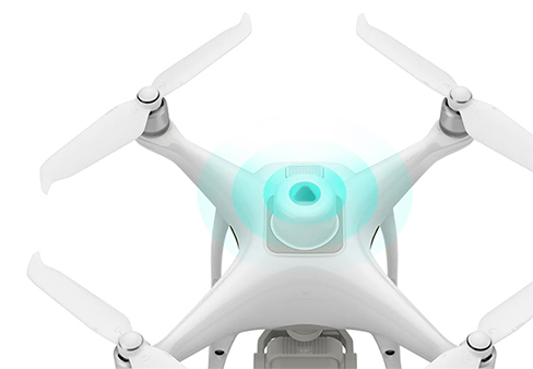
| Sensors | Six 1/2.9” CMOS, including one RGB sensor for visible light imaging and five monochrome sensors for multispectral imaging. Each Sensor: Effective pixels 2.08 MP (2.12 MP in total) |
| Filters: | Blue (B): 450 nm ± 16 nm; Green (G): 560 nm ± 16 nm; Red (R): 650 nm ± 16 nm; Red edge (RE): 730 nm ± 16 nm; Near-infrared (NIR): 840 nm ± 26 nm |
| Lenses | FOV (Field of View): 62.7° Focal Length: 5.74 mm (35 mm format equivalent: 40 mm), autofocus set at ∞ Aperture: f/2.2 |
| RGB Sensor ISO Range | 200–800 |
| Monochrome Sensor Gain | 1–8x |
| Electronic Global Shutter | 1/100 – 1/20000 s (visible light imaging); 1/100 – 1/10000 s (multispectral imaging) |
| Max Image Size | 1600×1300 (4:3,25) |
| Photo Format | JPEG (visible light imaging) + TIFF (multispectral imaging) |
| Supported File System | FAT32 (≤ 32 GB); exFAT (> 32 GB) |
| Types of memory cards | microSD with a minimum write speed of 15 MB/s. Max Capacity: 128 GB. Class 10 or UHS-1 rating required. |
| Operation Frequency | 2.4000 GHz to 2.4835 GHz (Europe, Japan, Korea) |
| Transmitter Power (EIRP) | < 20 dBm (CE / MIC / KCC) |
| Max Transmission Distance | FCC / NCC: 4.3 mi (7 km) CE / MIC / KCC / SRRC: 3.1 mi (5 km)(Unobstructed, free of interference) |
| Signal Transmission System | OcuSync |
| Built-in Battery | 6000 mAh LiPo 2S |
| Operating Current / Voltage | 1.2 A @ 7.4 V |
| Mobile Device Holder | Tablets and smartphones |
| Operating Time | ~ 6 hours without recharging |
| Capacity | 5870 mAh |
| Type | Li-ion 4S |
| Energy | 89,2 Wh |
| Net Weight | 468 g |
| Charging Temperature | +5°…+40°C |
| Max charging power | 160 W |
| Operating Temperature | +5°…+40°C |
| Voltage | 17,4 V |
| Rated Power | 160 W |
Related products

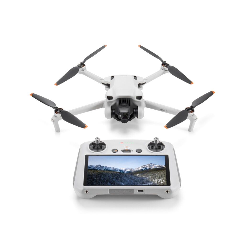
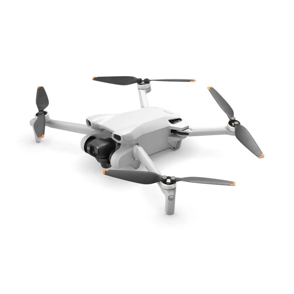
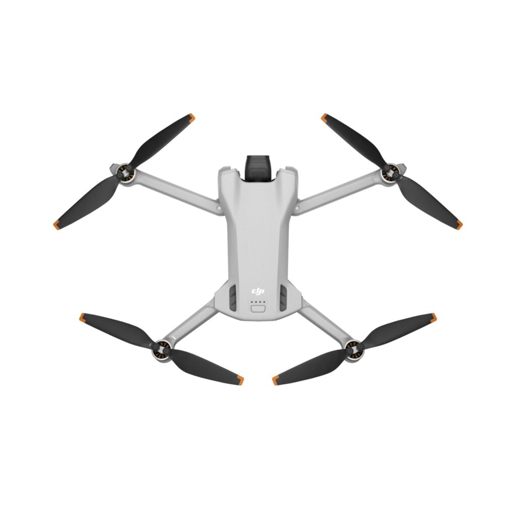
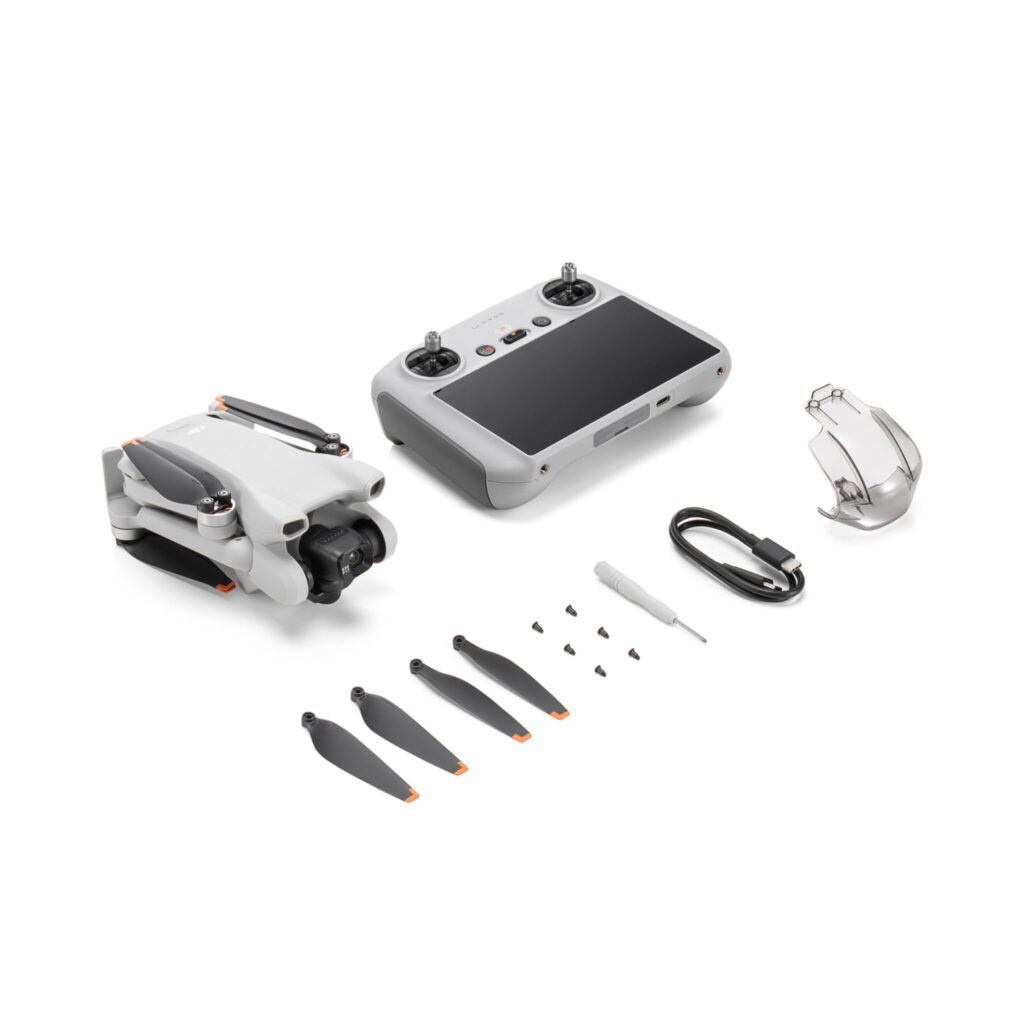
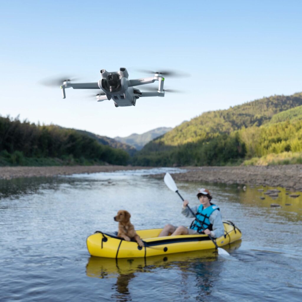
Drone DJI Mini 3 (DJI RC)
Original price was: 749,00 €.649,00 €Current price is: 649,00 €.