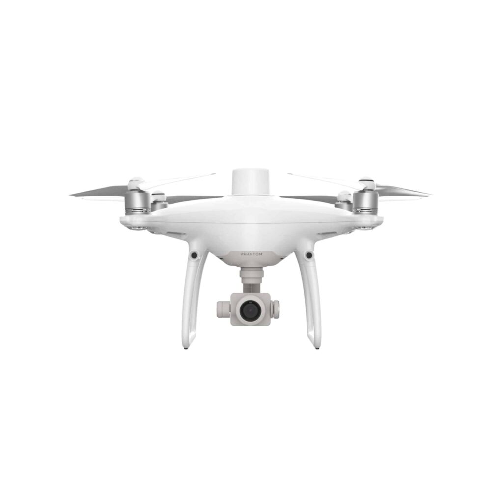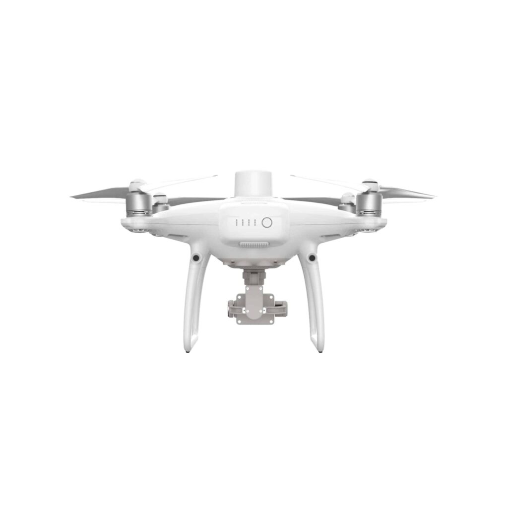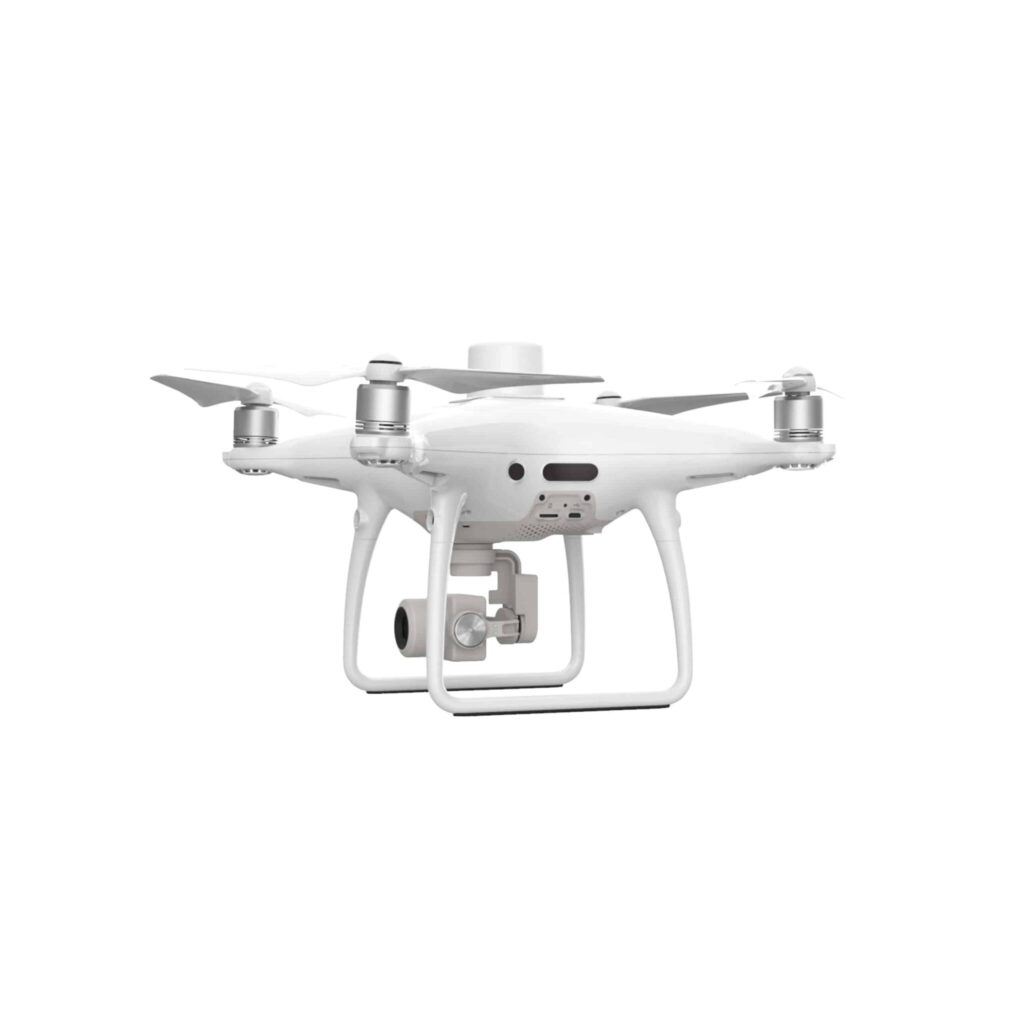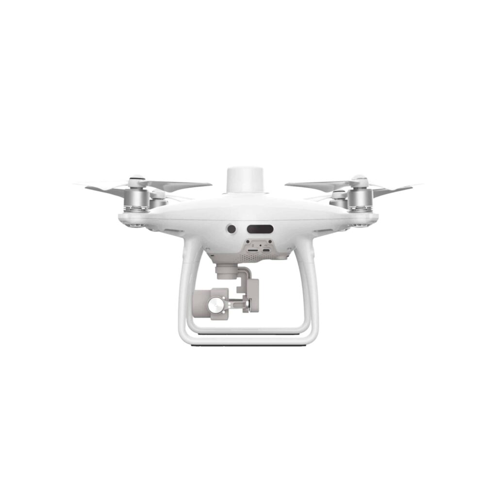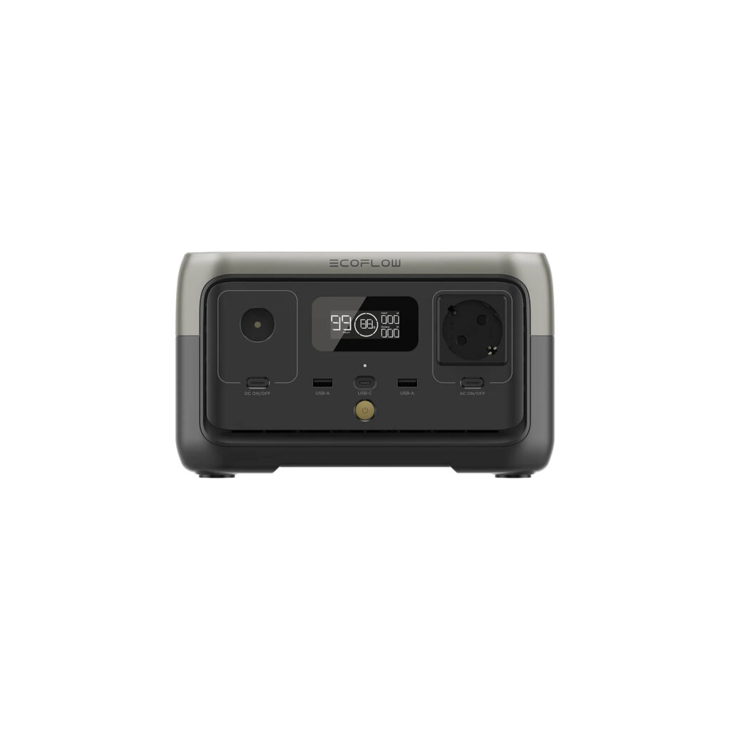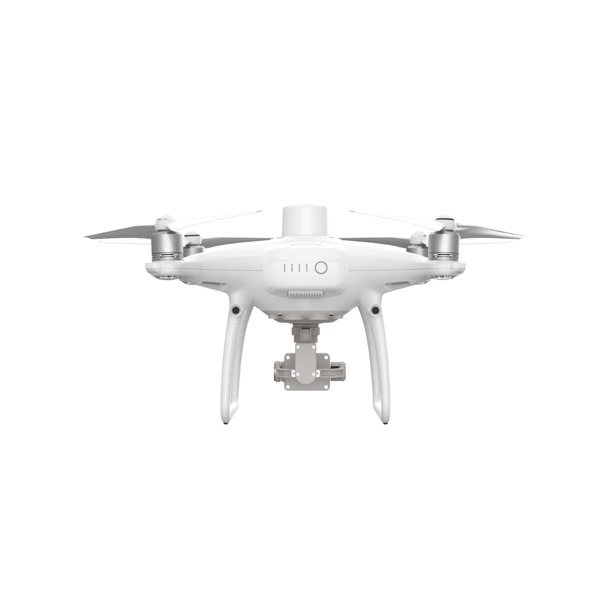
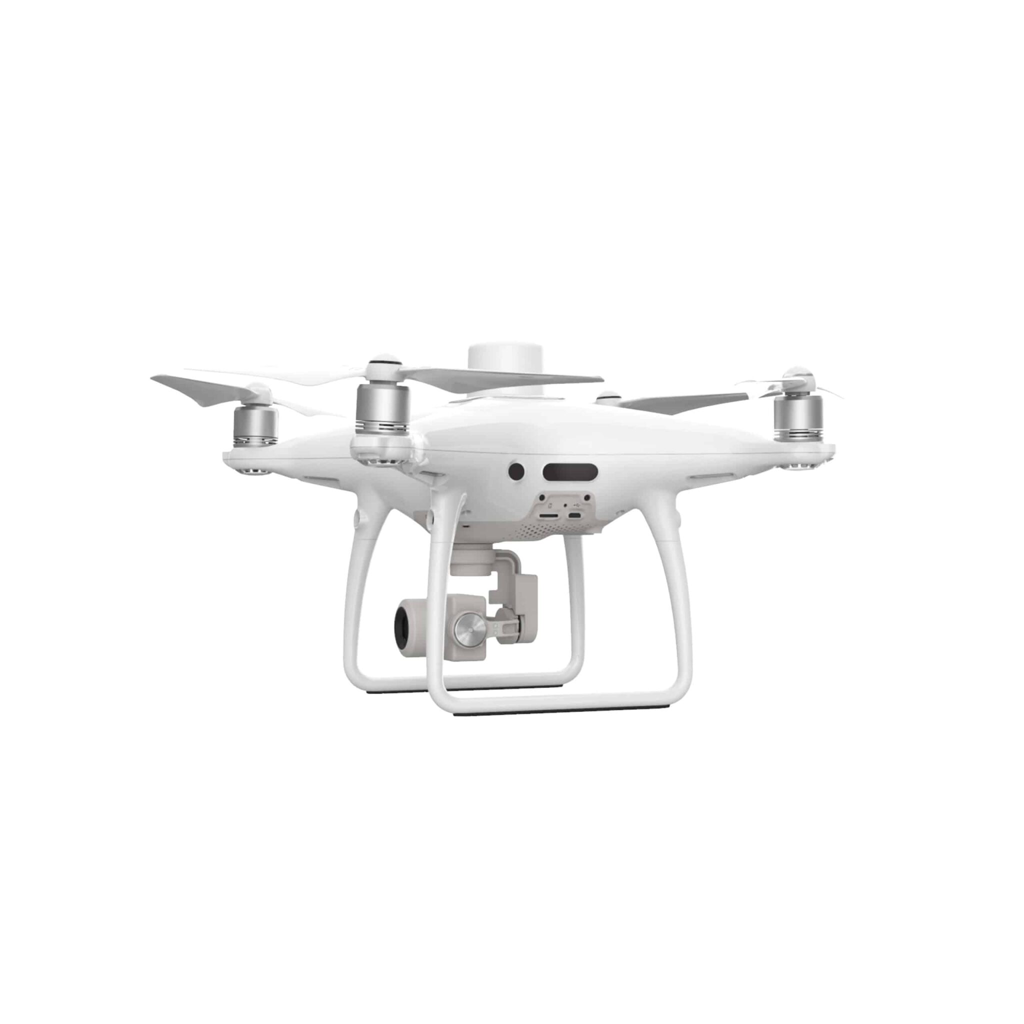

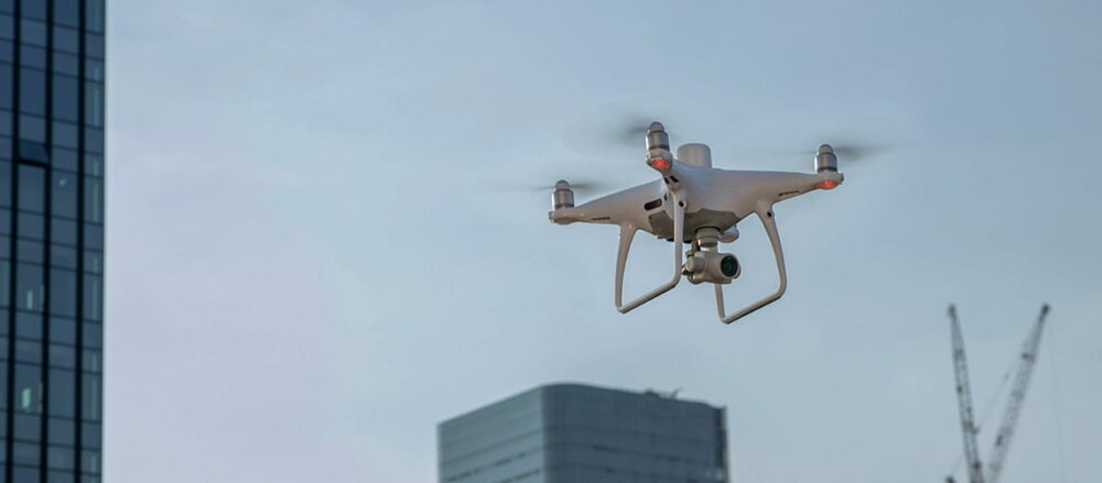
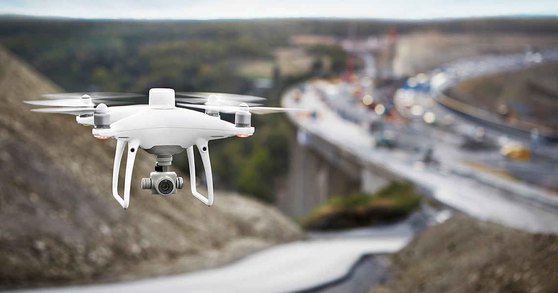
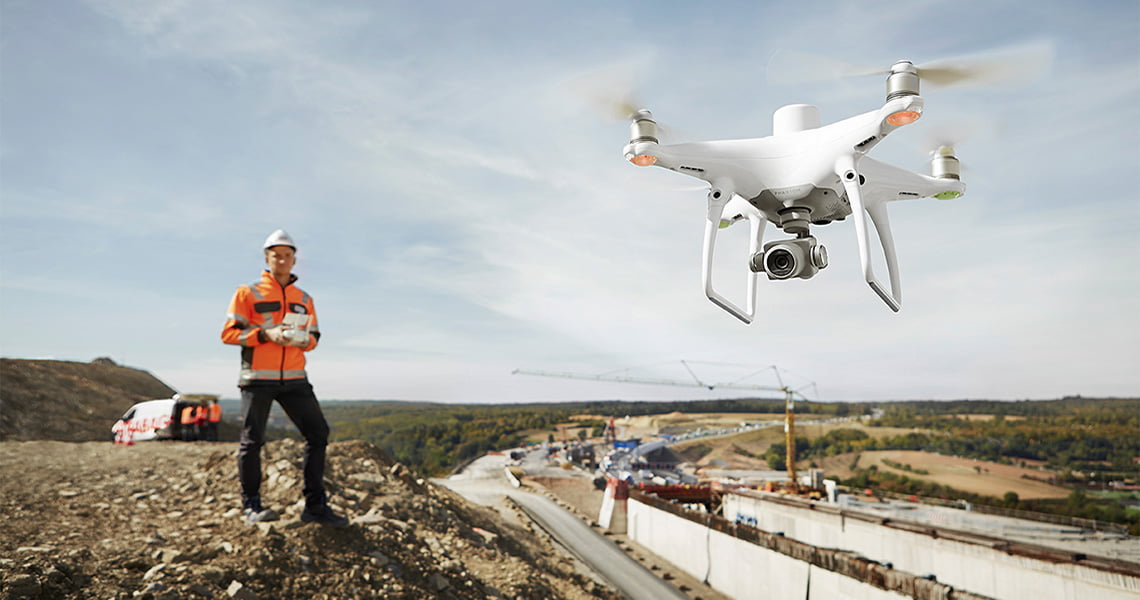
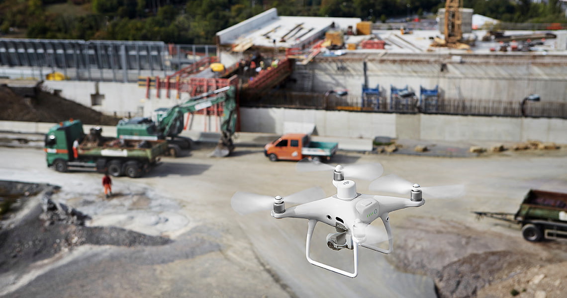
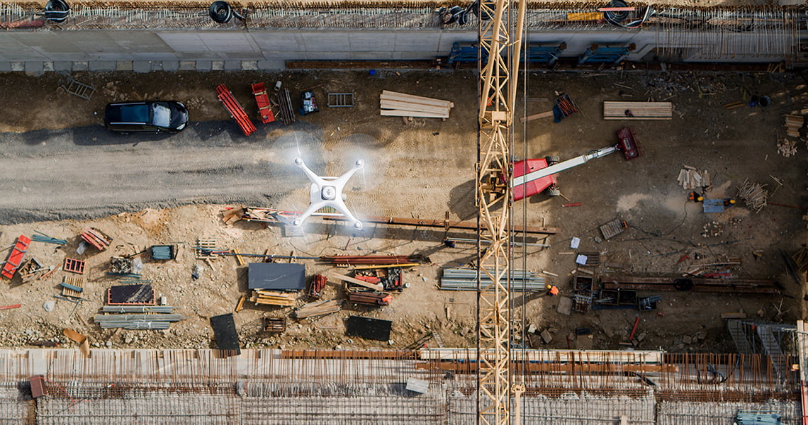
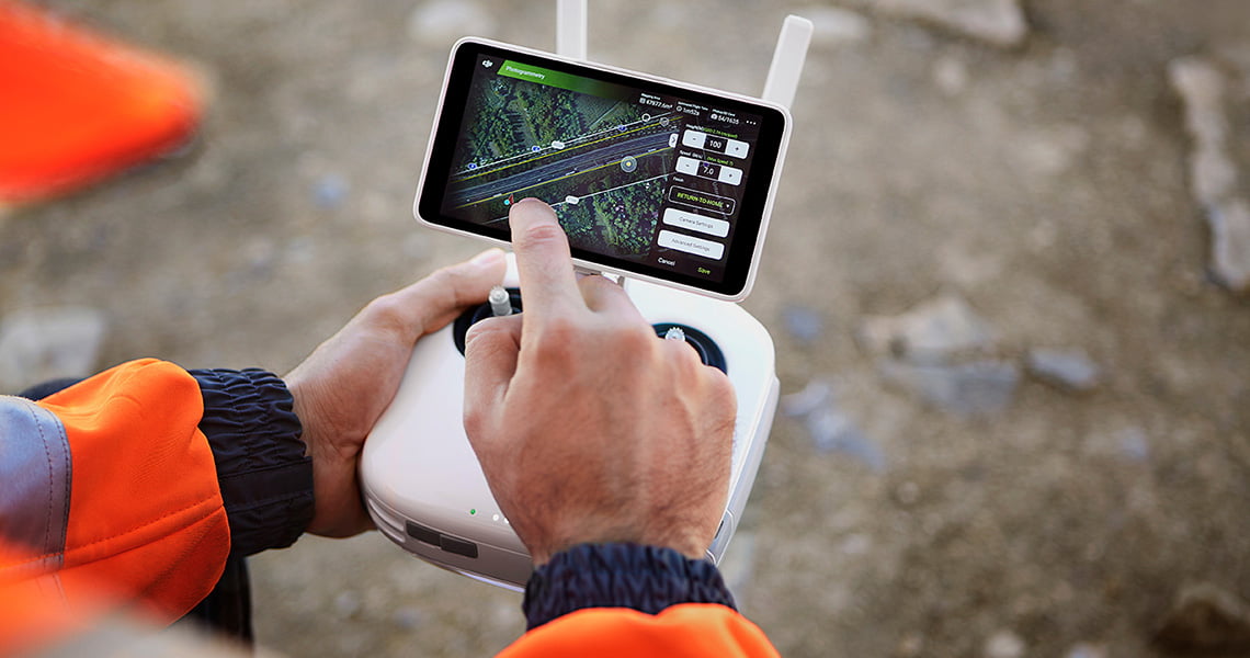
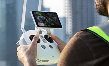
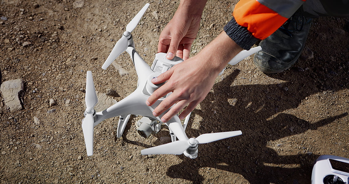
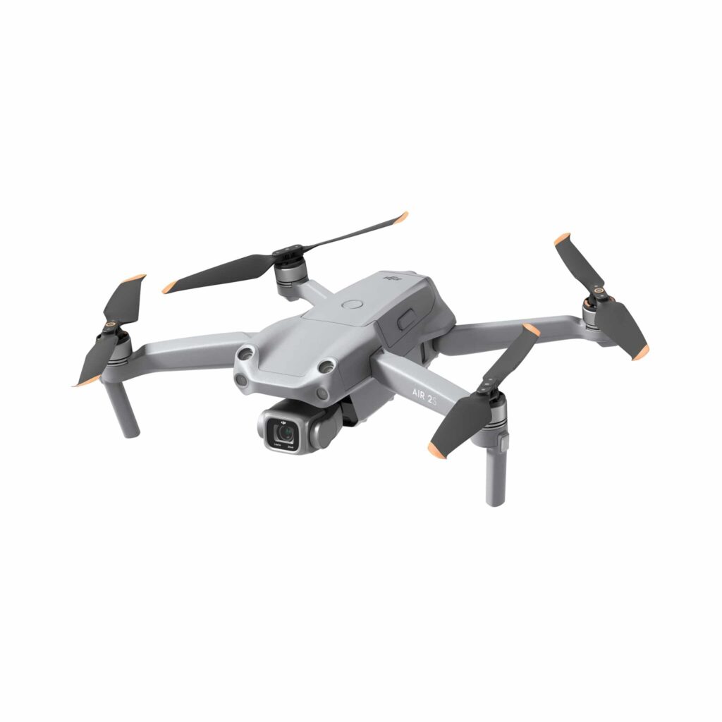
DJI Phantom 4 RTK
A unique new drone model from the DJI Phantom 4 series equipped with an RTK module for surveying, mapping and inspection tasks. Provides high accuracy and productivity.
Опис
DJI Phantom 4 RTK
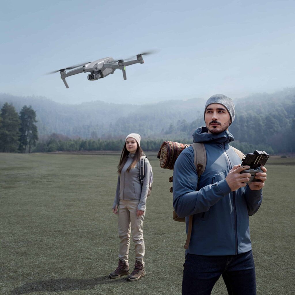
Visionary Intelligence. Elevated Accuracy. HIGH PERFORMANCE


Додаткова інформація
| Злітна вага | 1391 g |
|---|---|
| Діагональна довжина | 350 mm |
| Максимальна стеля обслуговування над рівнем моря | 6000 м |
| Максимальна швидкість підйому | 6 m/s (automatic flight); 5 m/s (manual control) |
| Максимальна швидкість спуску | 3 m/s |
| Максимальна швидкість | 31 mph (50 kph)(P-mode), 36 mph (58 kph)(A-mode) |
| Максимальний час польоту | Approx. 30 minutes |
| Діапазон точності зависання | RTK enabled and functioning properly: |
| Image Position Offset | The position of the camera center is relative to the phase center of the onboard D-RTK antenna under the aircraft body's axis:(36, 0, and 192 mm) already applied to the image coordinates in Exif data. The positive x, y, and z axes of the aircraft body point to the forward, rightward, and downward of the aircraft, respectively. |
| Mapping Accuracy ** | Mapping accuracy meets the requirements of the ASPRS Accuracy Standards for Digital Orthophotos Class Ⅲ |
| Ground Sample Distance(GSD) | (H/36.5) cm/pixel, H means the aircraft altitude relative to shooting scene (unit: m) |
| Data Acquisition Efficiency | Max operating area of approx. 1 km² for a single flight(at an altitude of 182 m, i.e., GSD is approx. 5 cm/pixel, meeting the requirements of the ASPRS Accuracy Standards for Digital Orthophotos Class Ⅲ |
| Velocity Range | ≤31 mph(50 kph) at 6.6 ft(2 m) above ground with adequate lighting |
| Altitude Range | 0 – 10 m |
| Operating Range | 0 – 10 m |
| Датчик | 1" CMOS; Effective pixels: 20 M |
| Лінза | FOV 84°;8.8 mm / 24 mm(35 mm format equivalent:24 mm); |
| Діапазон ISO | Video:100-3200 (Auto) |
| Mechanical Shutter Speed | 8 – 1/2000 s |
| Electronic Shutter Speed | 8 – 1/8000 s |
| Максимальний розмір зображення | 4864 × 3648 (4:3); |
| Video Recording Modes | H.264,4K:3840 × 2160 30p |
| Формат фотографії | JPEG |
| Формат відео | MOV |
| Підтримувана файлова система | FAT32 (≤ 32 GB); |
| Підтримувані SD-карти | MicroSD Max. Capacity: 128 GB. Class 10 or UHS-1 |
| Net Weight | 468 g |
| Діапазон температур заряджання | 14° to 104℉ (-10° to 40℃) |
| Max charging power | 160 W |
| Input Voltage | 17.3 – 26.2 V |
| Output Voltage and Current | 8.7 V,6 A;5 V,2 A |
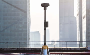
| Single-Frequency, High-SensitivityGNSS Module | GPS+BeiDou+Galileo(Asia); |
| Стабілізація | 3-axis (tilt, roll, yaw) |
| Pitch | -90° to +30° |
| Максимальна керована кутова швидкість | 90°/s |
| Діапазон кутових коливань | ±0.02° |
| Obstacle Sensing Range | 0.6-23 ft (0.2 – 7 m) |
| Поле зору | 70° (Horizontal) |
| Measuring Frequency | 10 Hz |
| Операційне середовище | Surface with diffuse reflection material, and reflectivity > 8% (such as wall,trees, humans, etc.) |
| Робоча частота | 2.400 GHz-2.483 GHz (Europe,Japan,Korea) |
| Потужність передавача (ЕІРП) | 2,4 ГГц |
| Max Transmission Distance | FCC: 7 km; |
| Енергія | 16 W (typical value) |
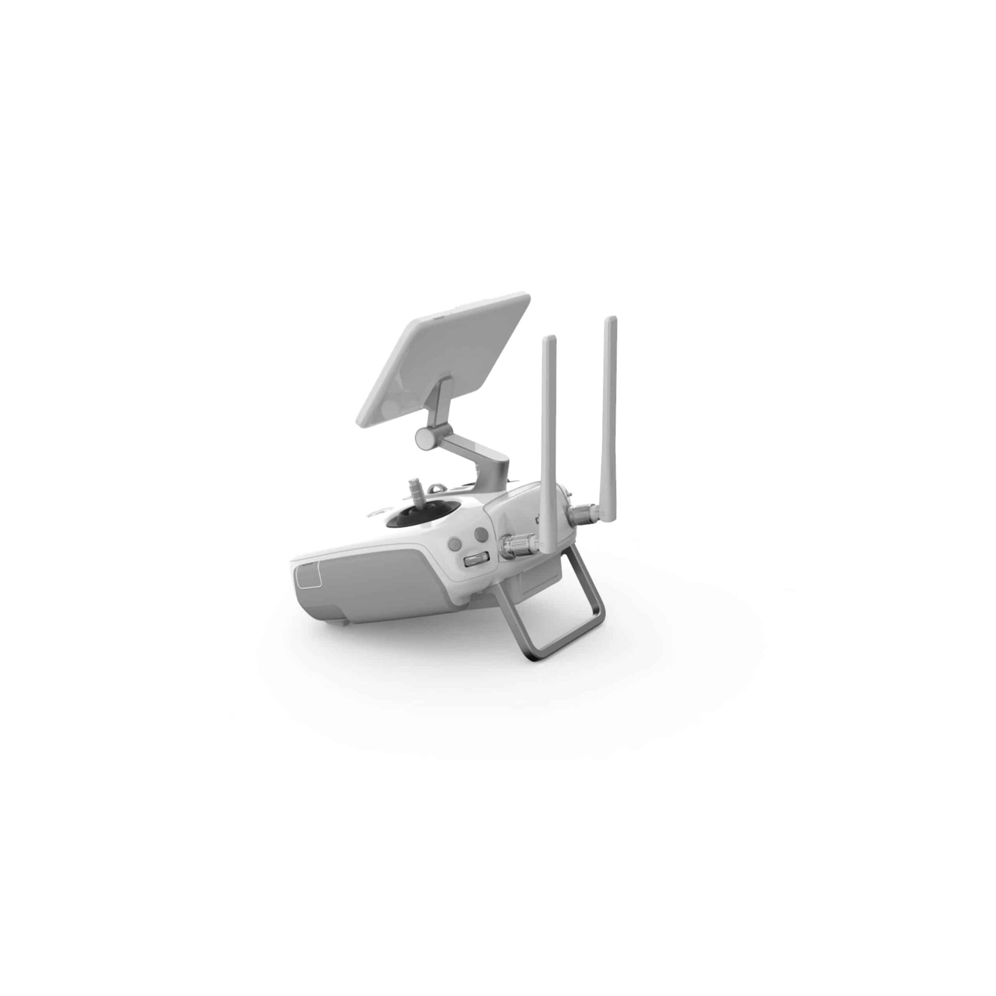
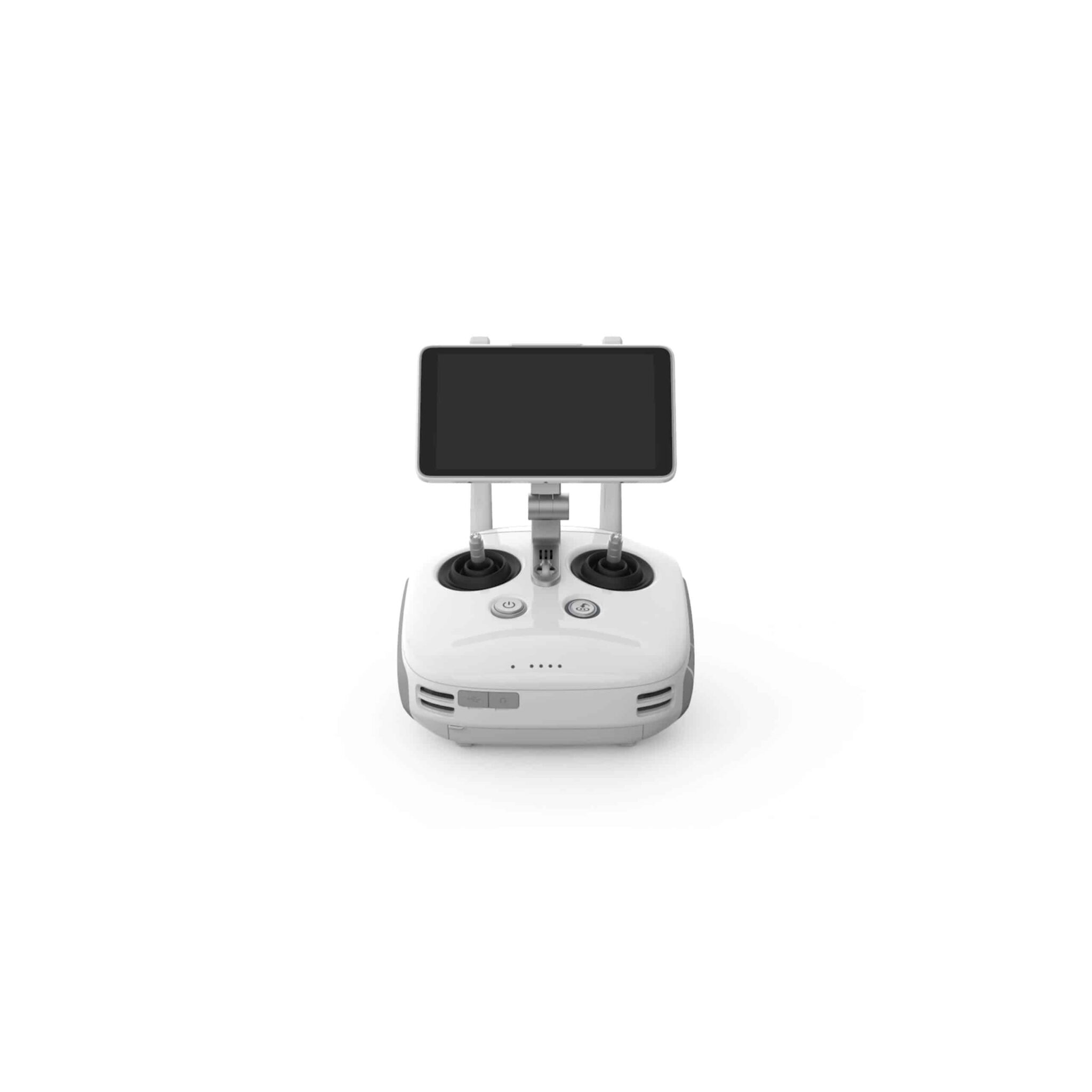
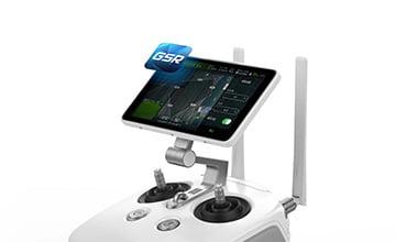
| Screen | 5.5 inch screen, 1920×1080, 1000 cd/m², Android System |
| Місткість | 4920 mAh |
| Тип батареї | LiPo 2S |
| Power | 37.39 Wh |
| Робоча температура | -4° to 104℉ (-20° to 40℃) |
| Напруга | 17.4 V |
| Номінальна потужність | 160 W |
Супутні товари


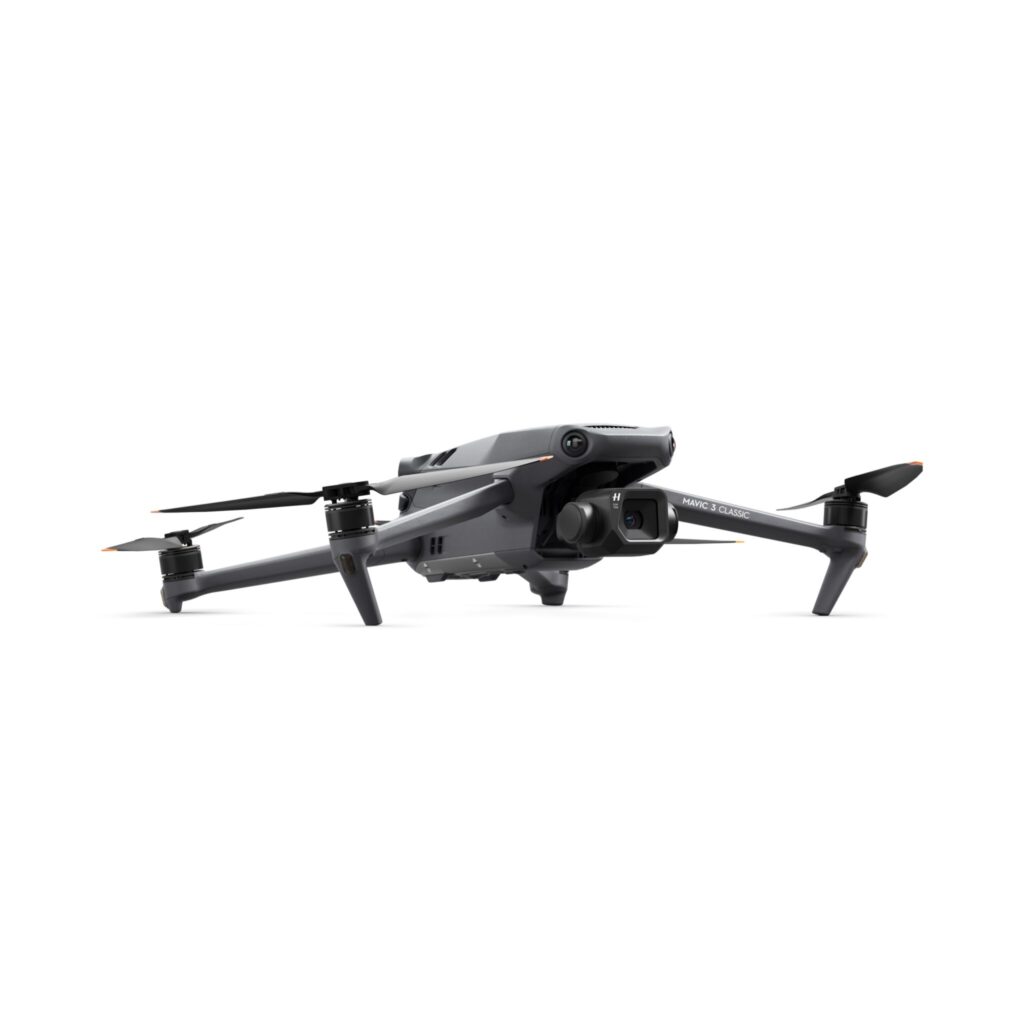

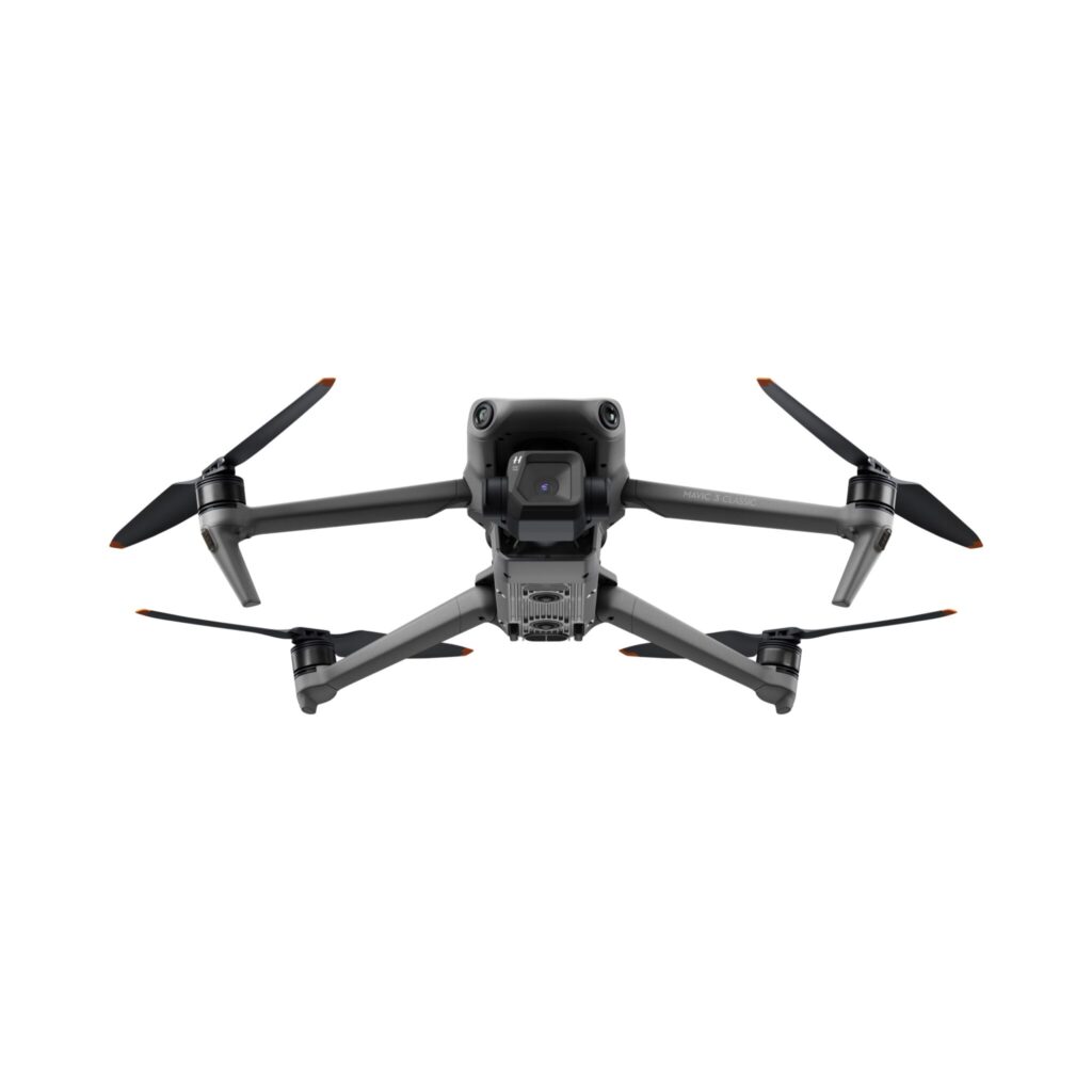
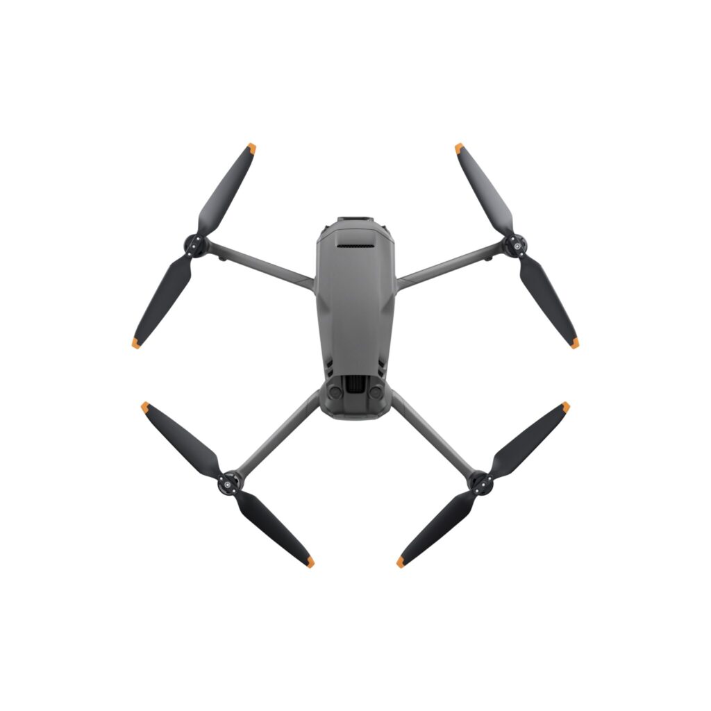

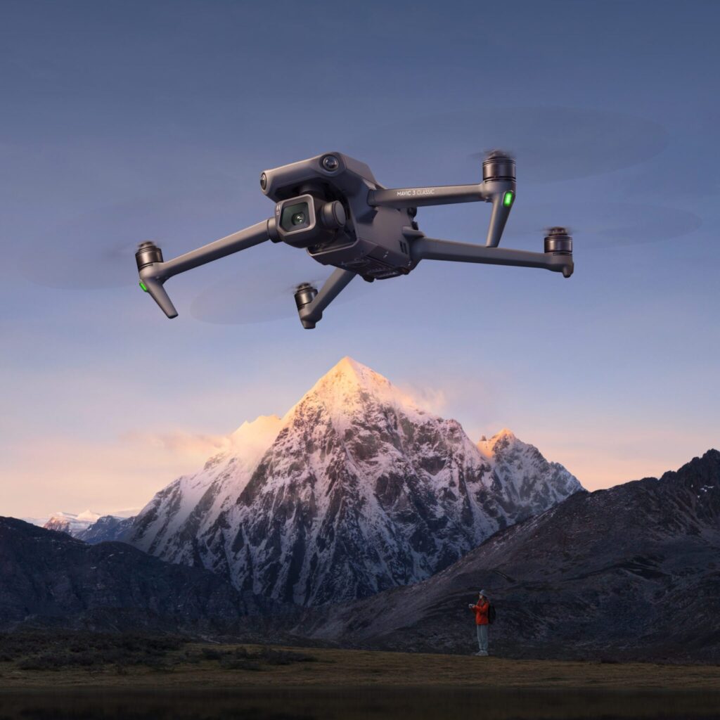
Дрон DJI Mavic 3 Classic (DJI RC-N1)
Початкова ціна була: 1 599,00 €.1 199,00 €Поточна ціна: 1 199,00 €.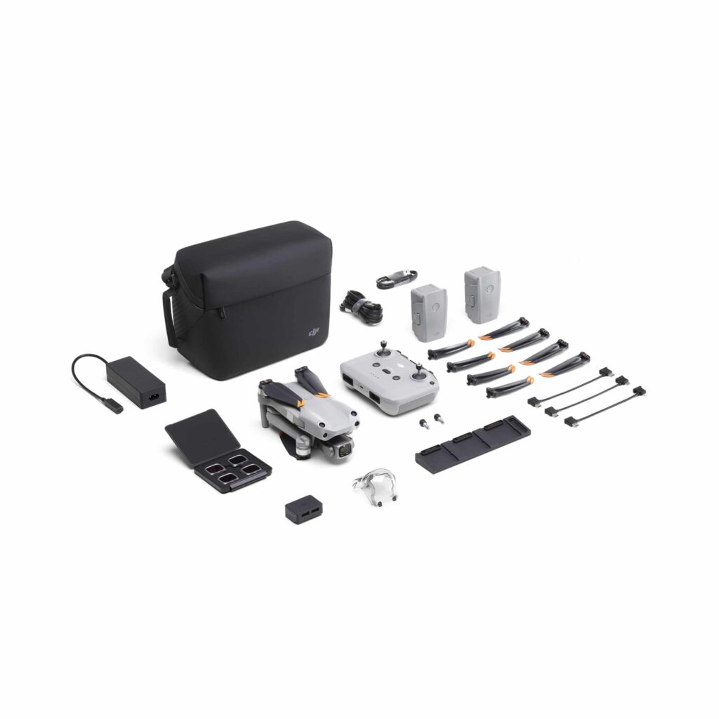
Дрон DJI AIR 2S Fly More Combo
Початкова ціна була: 1 299,00 €.909,00 €Поточна ціна: 909,00 €.

Нещодавно переглянуті