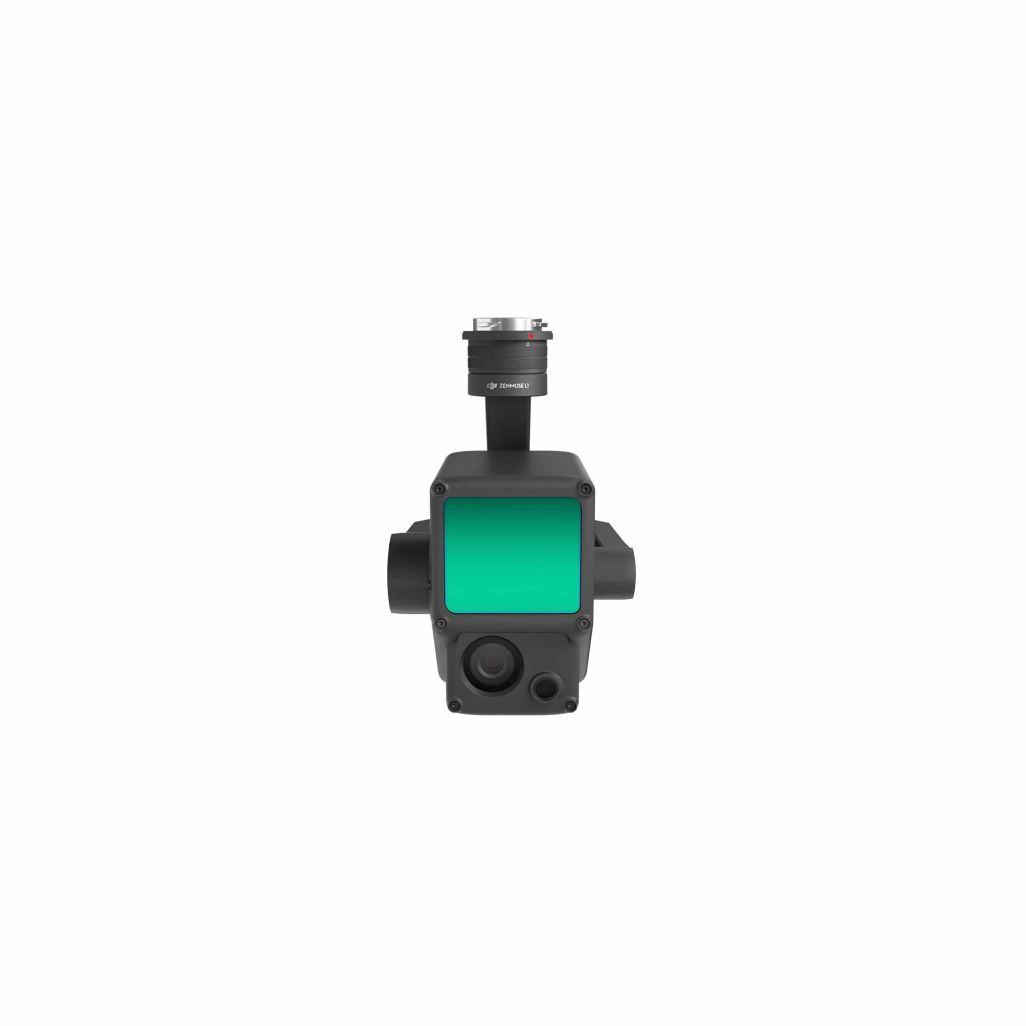


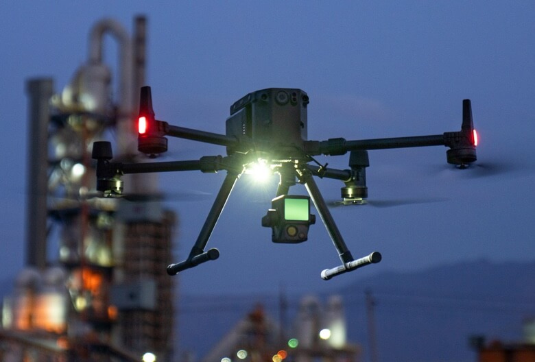
Zenmuse L1 Gimbal with Camera
The unique Zenmuse L1 multifunctional camera with LiVOX lidar module.*
Опис
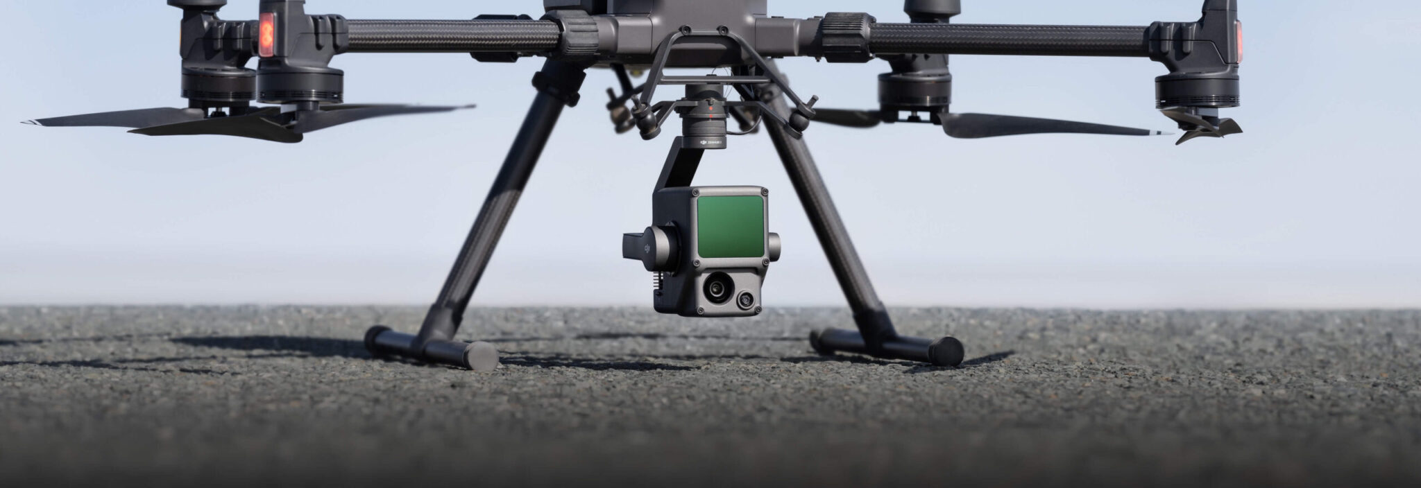
Zenmuse L1
Instant Clarity. Superior Accuracy.

![High efficiency 2 km2 per flight[1]](https://crea-tor.com/wp-content/uploads/2025/06/zenmuse-l1-high_efficiancy-q3xj2z9s0eof3wbaygi51luijdjpqklme0a5k212hc.png "High efficiency 2 km2 per flight[1]")
![Three channel support [3]](https://crea-tor.com/wp-content/uploads/2025/06/zenmuse-l1-supports_3_returns-q3xj3h4pm9cv8hld2681uzc9tp3ostkisgodobal74_.png "Three channel support [3]")


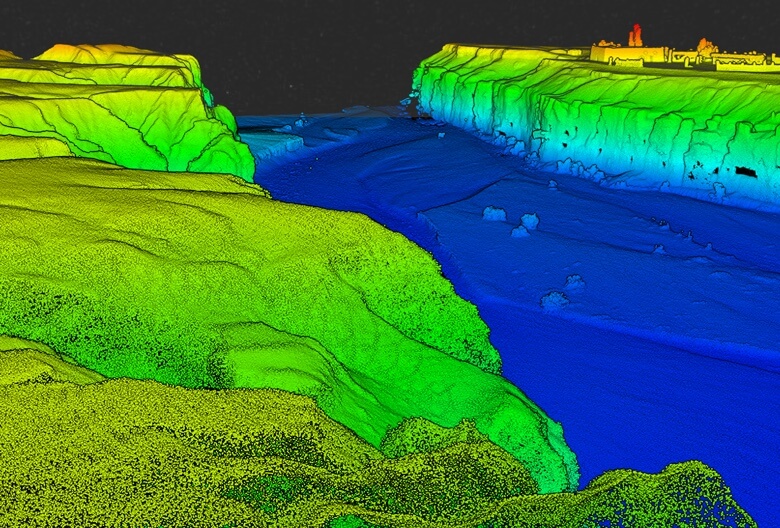
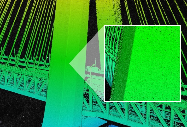


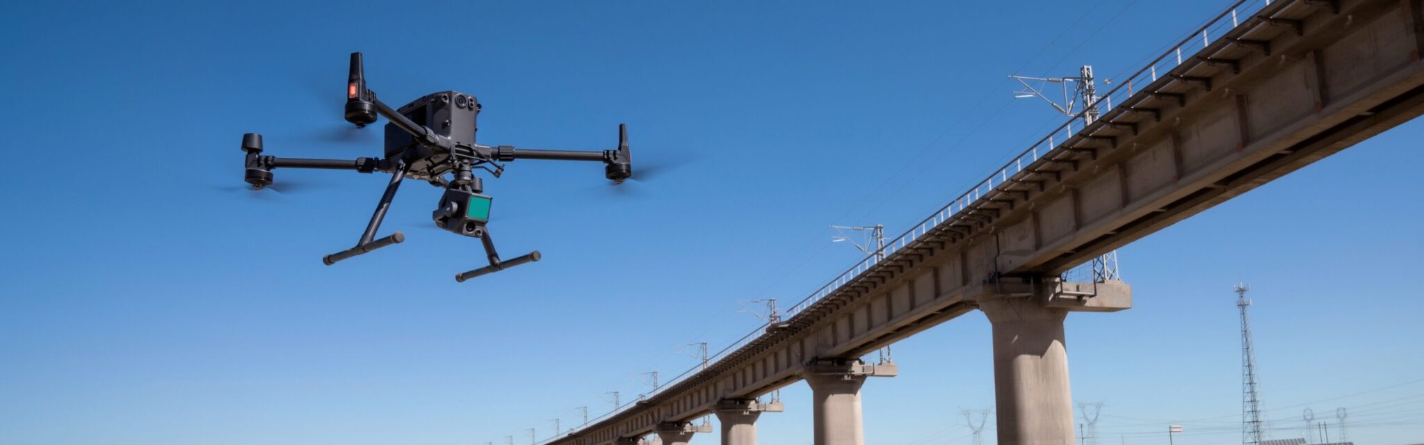
Recreate the World in 3D Point Clouds


Додаткова інформація
| Product Name | Zenmuse L1 |
|---|---|
| Розміри | 152 × 110 × 169 mm |
| Вага | 930±10 g |
| Power | 30 W |
| Рейтинг захисту | IP54 |
| Supported UAV | Matrice 300 RTK |
| Робоча температура | -20° to 50° C (-4° to 122° F) |
| Storage Temperature Range | -20° to 60° C (-4° to 140° F) |
| Detection Range | 450 m @ 80% reflectivity, 0 klx ; |
| Point Rate | Single return: max. 240,000 pts/s ; |
| System Accuracy(RMS 1σ)1 | Horizontal: 10 cm @ 50 m; |
| Real-time Point Cloud Coloring Modes | Natural color; |
| Measurement Accuracy | 3 cm @ 100 m |
| Max Returns Supported | 3 |
| Scan Modes | Repetitive scanning pattern, |
| Laser Safety | 1 |
| IMU Update Frequency | 200 Hz |
| Accelerometer Range | ±8 g |
| Angular Velocity Meter Range | ±2000 dps |
| Yaw Accuracy (RMS 1σ) | Real-time: 0.18°, Post-processing: 0.08° |
| Pitch / Roll Accuracy (RMS 1σ) | Real-time: 0.03°, Post-processing: 0.025° |
| Роздільна здатність | 1280×960 |
| Поле зору | 95° |
| Sensor Size | 1 inch |
| Ефективні пікселі | 20 MP |
| Photo Size | 4864×3648 (4:3); 5472×3648 (3:2) |
| Focal Length | 8.8 mm / 24 mm (Equivalent) |
| Витримка | Mechanical Shutter Speed: 1/2000 – 8 s |
| ISO | Video: 100 – 3200 (Auto), 100 – 6400 (Manual) |
| Aperture Range | f/2.8 – f/11 |
| Stabilized System | 3-axis (tilt, roll, pan) |
| Діапазон кутових коливань | 0.01° |
| Mount | Detachable DJI SKYPORT |
| Механічний діапазон | Tilt: -120° to +30°; Pan: ±320° |
| Operation Modes | Follow/Free/Re-center |
| Raw Data Storage | Photo/IMU/GNSS/Calibration files |
| Point cloud data storage | Storage of simulation data in real time |
| Підтримувані SD-карти | microSD: Class 10 / UHS-1 or higher; |
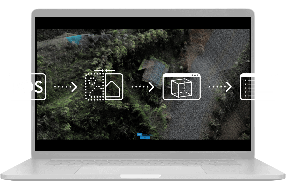
| Supported Software | DJI Terra |
| Data Format | DJI Terra supports exporting standard format point cloud models: |
Супутні товари